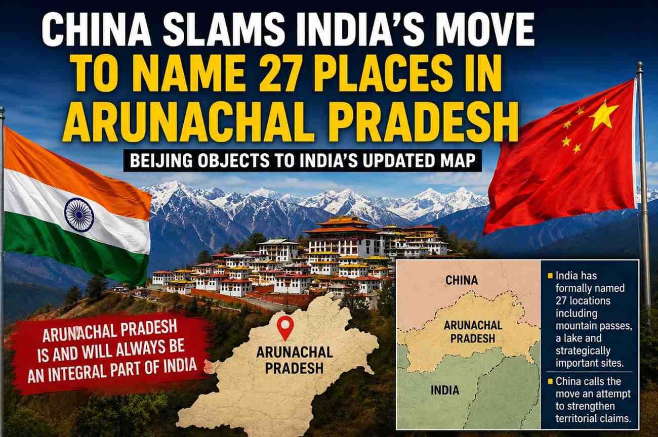
China has criticised India’s decision to formally assign names to 27 locations in Arunachal Pradesh, calling the move an attempt to reinforce what Beijing considers India’s territorial claims in the disputed region.
India has recently updated its official mapping of Arunachal Pradesh by assigning standard names to 27 locations, including mountain passes, a high-altitude lake and other strategically significant sites. The move is being seen as a response to China’s repeated attempts to assign its own names to locations in the northeastern Indian state.
The India-China border dispute has remained a sensitive issue, particularly in Arunachal Pradesh, which China claims as part of what it calls “Zangnan” or southern Tibet. India firmly rejects China’s territorial claims and maintains that Arunachal Pradesh is an integral and inalienable part of the country.
India’s latest move also highlights locations connected with the 1962 India-China war, including memorial sites honouring Indian soldiers. The government’s updated mapping is aimed at establishing standardized Indian names and strengthening official geographic records for the region.
China has repeatedly objected to India’s administrative and infrastructure activities in Arunachal Pradesh. Beijing has also previously issued lists assigning Chinese names to locations in the state. India has consistently rejected such naming exercises, arguing that changing names cannot alter the territorial reality.
In April 2026, India’s Ministry of External Affairs rejected China’s attempts to assign what it described as “fictitious names” to places in Arunachal Pradesh, stating that such actions cannot change the fact that the state is an integral part of India.
The latest exchange underscores the continuing sensitivity surrounding the India-China boundary issue. While both countries have made efforts in recent years to stabilise bilateral ties, territorial claims and activities along the disputed border remain major sources of tension.
India’s decision to formally name the 27 locations is therefore being viewed not merely as a cartographic exercise, but also as a reaffirmation of its administrative and territorial position in Arunachal Pradesh.
"The decisions we make today will shape the world for generations to come."